The Board of Revenue is all set to initiate a landmark digital mapping project with Survey of Pakistan collaboration. The cost of the project is foreign-funded $150 million.
Table of contents
- What is a digital mapping system? Here is something you need to know
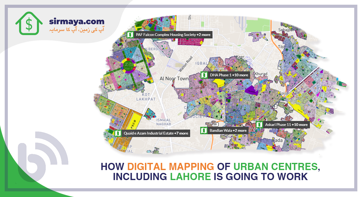
- What is the digital mapping of Lahore and other areas project?
- How will digital mapping be implemented?
- Is digital mapping so important?
- What are the benefits of digital mapping of Lahore and other urban centres?
- Conclusion
What Is a Digital Mapping System? Here Is Something You Need to Know
Digital mapping is also called digital cartography, which we use to convert compiled data into a virtual image. Also, we use this technology to get an accurate image and representation of an area. Moreover, it provides details about the major roads and exact locations of the points of your interest.
Similarly, the digital mapping system (DMS) includes airborne technology. Through DMS, drones and other airborne technology to get the images of low or medium altitudes. Finally, these images are converted to a mosaic format to detect the leads.
What Is the Digital Mapping of Lahore and Other Areas Project?
For the first time, the Board of Revenue Punjab has initiated a foreign-funded $150 million project called Cadastre of Punjab. We use the cadastral map to maintain public land records. In this regard, the Board of Revenue is preparing to launch a digital map of Lahore with the collaboration of the Survey of Pakistan.
Moreover, in this matter, they are determined to set an example to revolutionise the provincial capital city in terms of modernisation in the first phase. Similarly, they have decided to allot the numbers to the buildings in the first phase. They further decided to digitalise the property’s value, owner details, and building area. Moreover, this will abolish immovable properties’ Khasra.
Further information in this regard is that the Punjab cabinet has amended the law. Now, private societies need to provide audit reports. Suppose they fail to do so, their offices will be sealed and considered public offices for further dealings. Another focal point in this regard is that tax collection will become much easy after digitalisation. It will become easy to forecast the annual production of the crops through the Digital Girdawri system.
It will ultimately help the banks issue the loans because they will already know the land ownership details. Similarly, fake claims of land would work no longer. Also, the authorities will provide smart cards to stamp paper sellers. In this regard, the memorandum of understanding (MoU) has been signed with the Federal Board of Revenue (FBR) to increase taxation in the province.
How Will Digital Mapping Be Implemented?
The Punjab cabinet is all set to amend the Board of Revenue law. The real estate developers must produce the audit reports regularly. If they do not provide the said data, the offices will be sealed and considered public offices.
Similarly, in the above line, the committee will issue building numbers and predefine the value of the property and the area and the ownership. Moreover, the digital mapping will make it easy to find the desired location accurately and conveniently.
Is Digital Mapping So Important?
The paradigm of the world is shifting to digitalisation in nature. Similarly, in this regard, artificial intelligence (AI) is also being used to do the tasks perfectly. Moreover, it will help us get the information of the land in a twist with the online method.
Likewise, the teachers use digital mapping in the classrooms to provide the exact information about the topic. Similarly, it will save the time of authorities and provide the information one needs.
What Are the Benefits of Digital Mapping of Lahore and Other Urban Centres?
From the above discussion, we have almost learned the significant benefits of the digital mapping of Lahore and other urban centres.
In this regard, we can enlist the benefits in the following manner,
- The Board and Revenue, collaborating with the Survey of Pakistan, will allot numbers to the buildings.
- It will become easy to know about the owner of the land and property
- The value of the property will be predefined
- Through forecast, it will become easy to know about the annual crops’ productions through Digital Girdawri.
- Banks will easily find the owner of the land if they apply for bank loans.
- Tax collection will become easy
- it will generate more taxes due to the digital system
- Fake claims of lands will not work anymore.
Conclusion
To conclude, in a nutshell, we can say that it is an excellent step by the Punjab government. It will shift things from old traditions to modernisation. The project is much needed in the capital city and other parts of the country to get the facts and figures of the properties and land.